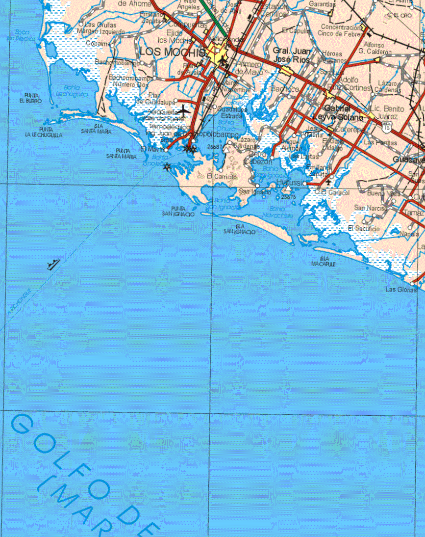
Navachiste Bay, Topolobampo, Maviri and Santa Maria Island
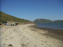
Near Los Mochis is a network of bays and islands which are part of the Rio Fuerte delta. You will find untouched beaches, sand dunes, lava islands, tidal flats with clouds of birds. In this pristine but deserted world you can hike and swim. We will tour around in small launches, walk for miles through dunes and beaches. You will not see another person for miles.
see a video of Santa Maria Island click on blue
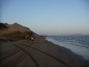
Dune at Maviri beach at Maviri Beach of Navachiste
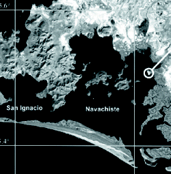 Navachiste Bay and pictures of the islands
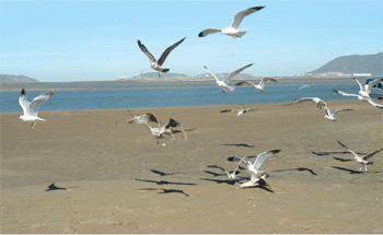
Navachiste Bay is part of a long chain of inlets found on the Pacific coast of Mexico, stretching from Nayarit to the southernmost tip of the state of Sonora. At the same time, it is an independent region made up not only by the bay, but also by a series of bays, islands, and inlets approximately 60 km long and about 15 km wide. The economy there is based on fishing, but its wealth goes beyond the mere economical. In fact, it is a world filled with wildlife, especially birds, and cultural remains
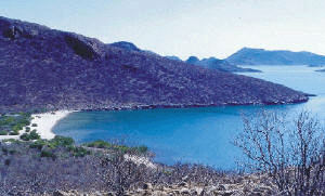
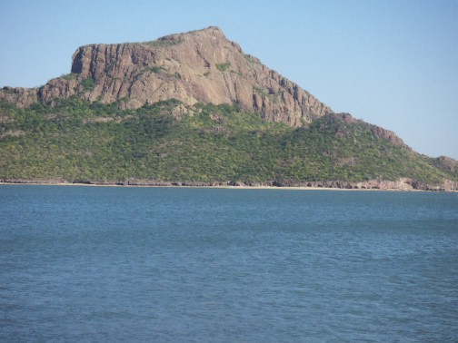
To the west, the islands and the mainland show their craggy terrain. A wide peninsula covered with hills separates Navachiste Bay from Topolobampo and Ohuira bays. The hills near the sea are several hundred meters high and are quite dry, even in October, the end of the rainy season. However, the seawater, although salty, works wonders and provides life to the mangrove swamps found on some sections of the beach.
As the hills sometimes stretch down to the sea, there are often many cliffs. There is one area known as the “Isla de los Poetas.” The name comes from the fact that a group of international poets meet here. Part of the meeting’s activities includes writing poetry on the rocks. We saw a couple of the poems (unusual graffiti) that were undoubtedly inspired by the beautiful landscape.